October 1-3 2017
Location
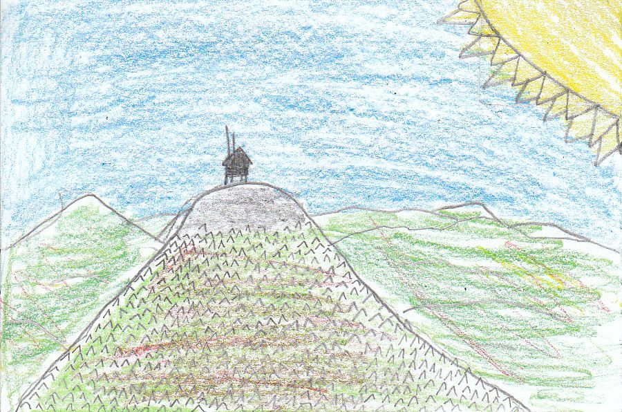
Mount Cardigan is located at 43.649746 degrees North and -71.914610 degrees West and the elevation 3149 feet. It is in the town of Orange and Alexandria, It is NW of Concord, NW of Manchester, and N of Hopkinton. It is in the middle of New Hampshire.
During the Cardigan trip we saw many things that were physical geography! Some of the physical things that we saw were hobble bush, Welton falls, indian cucumbers, and the bare rock summit. The trees on Cardigan were northern hardwood (both deciduous and coniferous), but at the top of the mountain there were only coniferous trees. From the top you could see Newfound Lake, Lake Winnipesaukee, and Squam Lake. Some of the cultural geography! That we saw include: Trail blazes, the AMC lodge, high cabin, cellar holes, and stone walls. At the top of Cardigan there was a fire tower which was obviously man made. Also on Firescrew at the top you could see windmills which are made to collect energy.
We were on the Mt Cardigan trip for three days, Sunday we hiked to Welton Falls and went on a night hike, Monday we hiked up Firescrew through the saddle and up Cardigan, Tuesday we went on the nature loop and caught animals in the river/stream then we got on the bus and went home.
All Rights Reserved. Copyright. Do NOT copy.