My Awesome Amazingly Spectacular Fantastic Majestic Trip to Cardigan
By Nick M
Green group
October 4-6, 2017
Green group
The absolute location of the summit of Mt Cardigan, the coordinates are 43.6498 degrees north, and 71.9148 degrees west. The elevation of Mt Cardigan is 3,156 feet above sea level. The relative location of Cardigan is many different things. Cardigan mountain is in Orange, West of Alexandria, west of Newfound Lake, North west of Bristol, North of Grafton, way north of Hopkinton and Contoocook, and south of Dorchester.
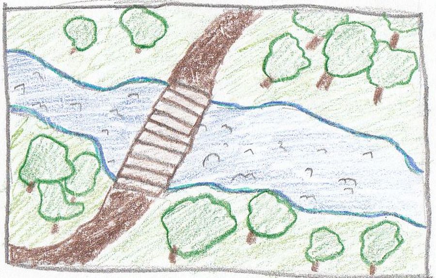
There was physical and cultural geography for place at geography. First of all, all the trails. All the trails, not just the one up Cardigan, were all cleared by men. There were obvious places where wood was where it usually is not, or rocks, for steps, and easier walking trails. Bridges were also there for for trails. The bridges were sometimes big and sometimes small, but definitely not natural, some were even made of concrete. Also, all the trail markers and blazers to keep people on the right track.
Also, there was physical geography for place. On cardigan, and around Cardigan, there were many hobblebush plants. These plants have round leaves and apparently are the ideal leaf to wipe your behind after you go the bathroom in the woods. In addition, there were many streams from runoff from the mountain. When it rains on top of the mountains, the rain goes down the mountain because of gravity and creates streams and rivers. Most of all, glaciers did many things. A few of the things were potholes, erratics, and carved all the rock and boulders. These were only some of the examples of Cardigan.
We were there for three days, wedsnesday thursday and friday

This work is licensed under a Creative Commons Attribution-NoDerivatives 4.0 International License.
This is all copyright.