September 28-30th 2022
Copyright 2022
Last updated date- December 6th, 2022
Where is Cardigan Mountain?
Cardigan mountain is located about 7.25 miles east of Canaan. It is also about 6 miles west of Alexandria. Newfound lake is also only six miles away from Cardigan. This shows us where Cardigan is in terms of other places so it is a relative location.
The latitude and longitude of the summit of Cardigan are 43 degrees 38 minutes 59.16 seconds north and 71 degrees 54 minutes and 53.93 seconds west with an elevation of 3112 feet. This is the exact pin point location of Cardigan so it is an absolute location.
Description of Cardigan - PLACE.
Physical geography!
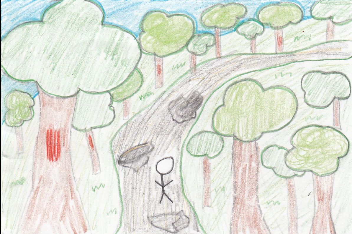
On our field trip, we went to a few places, including Welton Falls, Firescrew mountain, Cardigan mountain, and Dukes meadow. All these places had many trials and cool things we discovered that were made by nature. An example of this is the glacial striations we saw on Cardigan.
Cultural geography!
At Cardigan, there was a meadow that is called Dukes meadow. Dukes meadow used to be a field for grazing animals many years ago. There were also stone walls to indicate what the area was used for. We also found an abandoned car on top of a ski trail. Cardigan lodge was a big house-like building with four floors. There was the entrance floor, kitchen/ dining room/ living room floor, girls bunk room floor, and boys bunk room floor. Outside there was a parking lot in front of the building. There was also a small field on the side of the lodge with a porch and a pond not far from the field/lodge.
Overall, we had a great time on the three days we were at Cardigan. Wednesday, Thursday, and Friday.
Cardigan mountain is located about 7.25 miles east of Canaan. It is also about 6 miles west of Alexandria. Newfound lake is also only six miles away from Cardigan. This shows us where Cardigan is in terms of other places so it is a relative location.
The latitude and longitude of the summit of Cardigan are 43 degrees 38 minutes 59.16 seconds north and 71 degrees 54 minutes and 53.93 seconds west with an elevation of 3112 feet. This is the exact pin point location of Cardigan so it is an absolute location.
Description of Cardigan - PLACE.
Physical geography!
On our field trip, we went to a few places, including Welton Falls, Firescrew mountain, Cardigan mountain, and Dukes meadow. All these places had many trials and cool things we discovered that were made by nature. An example of this is the glacial striations we saw on Cardigan.
Cultural geography!
At Cardigan, there was a meadow that is called Dukes meadow. Dukes meadow used to be a field for grazing animals many years ago. There were also stone walls to indicate what the area was used for. We also found an abandoned car on top of a ski trail. Cardigan lodge was a big house-like building with four floors. There was the entrance floor, kitchen/ dining room/ living room floor, girls bunk room floor, and boys bunk room floor. Outside there was a parking lot in front of the building. There was also a small field on the side of the lodge with a porch and a pond not far from the field/lodge.
Overall, we had a great time on the three days we were at Cardigan. Wednesday, Thursday, and Friday.