My Amazing Trip to Cardigan
Rose F
Blue group
October 1-3 2017
Blue group
October 1-3 2017
Absolute location the AMC lodges latitude was 43 degrees 38 minutes nand 59.4 seconds and the longitude was 0.71 degrees and 52 minutes and 44.1 seconds. It was not really on a hill so the elevation was only 1408 and the accuracy was 9 feet. Relative location is a specific description of were a place is, say if we start at Hopkinton Middle High school and go to the Cardigan lodge it would be 44.7 miles and would take about 1 hour and eleven minutes to get to the lodge. It is also coordinates that give a position of relative location to the equator using latitude and longitude.
Cultural Geography!
One first day we left the high school in the bus on our way to cardigan. When we got there I saw the lodge and a bunch of cars.When we first started hiking there were multiple trail signs to tell us where we were headed. The trails sign helped a lot when we were hiking. Usually around the middle of the day we would stop to eat our lunch. On day two as we were on the rocks of Firescrew I saw a pile of rocks that were marking the trail. Then once we were at the very top of firescrew and heading into the saddle there was toilet paper on the side of the trail. As we were going up to the top of Cardigan there were pieces of trail mix that my guide ate. Then once we were at the very top of Cardigan there was a fire tower. And on the way down there was the house for the man who ran the fire tower and the high cabin. On the side of the high cabin was a out house. On our way back there were blazers that would tell us if we were on the right trail or not. Once we got back to the lodge we had dinner and anything left over would be the Ort that they would give to the pigs. On the last day we found and old car in the woods we bullet holes in the side off it. Then we made a fort in the woods.
Physical Geography!
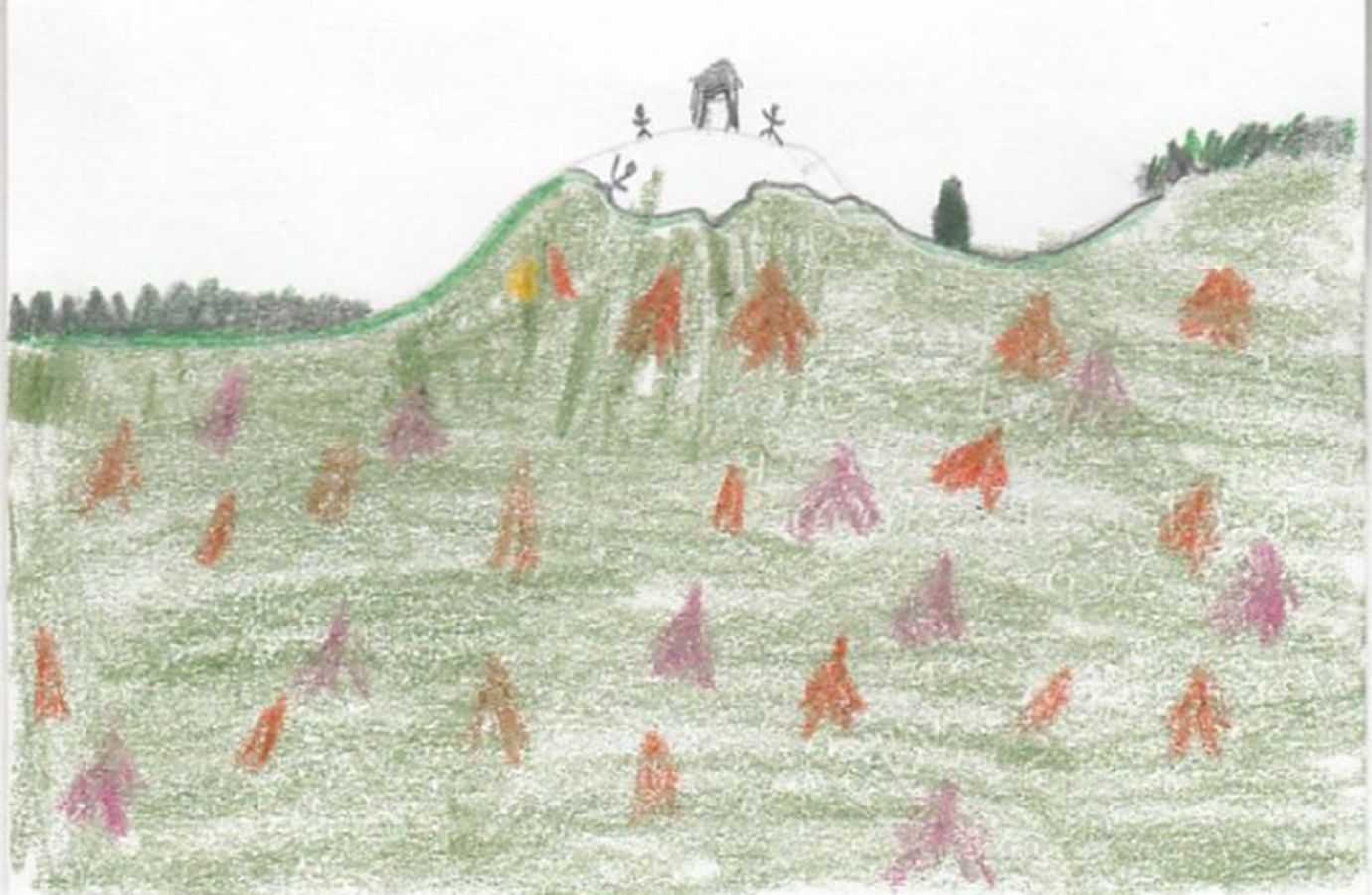
When we started to hike the first day the first thing I saw was firns then I saw a beech tree. But as we kept walking there was a small stream then I saw a red spruce. Then we saw club moss with their little seeds. We also saw in the middle of the trail coyote scat. Then we went to a swamp area where there there was 2 beaver lodges and 1 beaver dam. Then when you would look in the water you would see tad pols or beatles. The beatle that I saw was large and when we poked it with a stick it these claw looking things came out of it by its side. Then after that we looked in the mud by the lodge and saw a moose foot print. On day two was our big hike up to Cardigan mountain. On the way we saw more club moss and red spruce trees, white birch and yellow burtch. We went over multiple streams and then we saw the top of firescrew which was the first peak that we climbed. Once we were finally at the top of Firescrew we saw the peak of Cardigan, Mt. Kearsarge and Mt. Washington. Then we saw to left Newfound Lake and Winnipesaukee lake. I saw past the trees on the peak there was a huge mud swamp. Then we were done and felt like we should keep going to get to the of Mt. Cardigan. We finally made it to the top of Cardigan Mt and saw a bunch of red yellow, orange, green trees and it was so beautiful. Then we saw the mountain line it was all of the peaks to all the mountains. On the 3 and final day we went on a small hike and saw a beautiful stream that I stayed at for a least an hour because it was so amazing. Then we went through duke's field to this huge hill so that we could climb up it so that we could build a fort up there.
We were at Cardigan for 3 days Sunday Monday Tuesday.

This work is licensed under a Creative Commons Attribution-NoDerivatives 4.0 International License.